PERTH DRONE
SERVICES
Roof Inspections
Aerial roof inspections will find broken tiles, leaking seals and other points of water ingression, quickly and safely.
Learn MoreAgricultural Mapping
Multispectral agricultural mapping with a drone can identify areas of a field that may be experiencing stress, such as disease or nutrient deficiencies, and take targeted action to address these issues.
Learn MoreConstruction Mapping & Asset Inspection
Construction mapping with a drone allows the creation of maps of construction sites. By flying over the site and taking photos at different angles and altitudes, the drone can create a detailed 3D model .
Learn MoreThermal Imaging
Thermal imaging with a drone has numerous applications, including search and rescue, agriculture, building inspections, and surveillance.
Learn MoreMultimedia Production
We can create an online business presence and produce promo videos, from the air and on the ground.
Learn More360 Panoramas & Virtual Tours
360 Panos showcase your business or venue to a global audience via Google and can be a single picture or a whole virtual tour.
Learn MoreLatest Technology
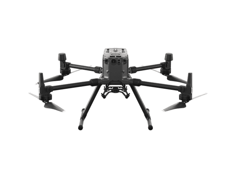
We employ the latest in aerial vehicle technology and matching payloads.

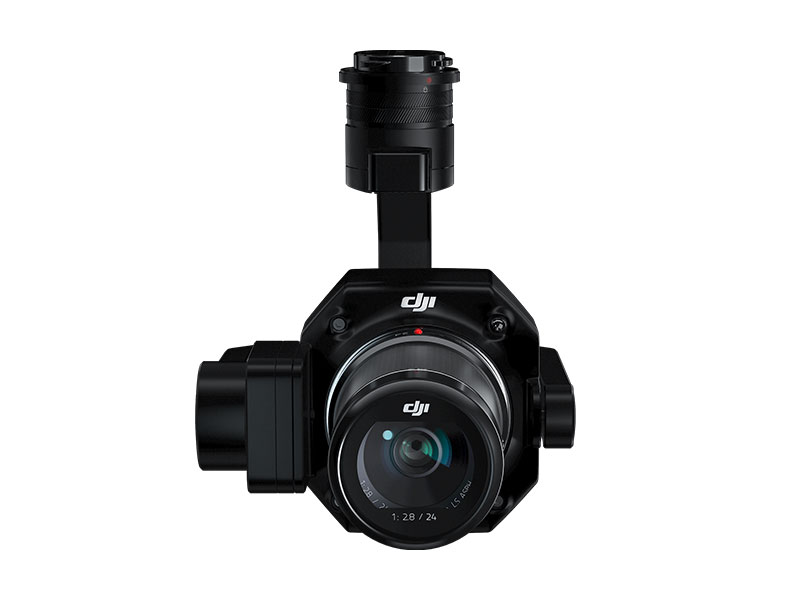
High Definition RGB Cameras
Zenmuse P1
45 MP Full-frame Sensor
Global Mechanical Shutter
Smart Oblique Capture
35mm Lens
45 MP Full-frame Sensor
Global Mechanical Shutter
Smart Oblique Capture
35mm Lens

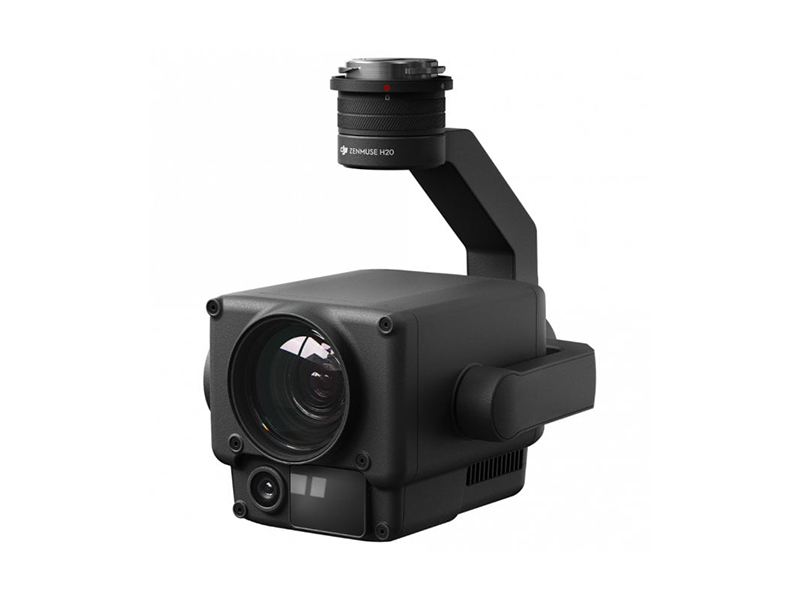
Infrared Cameras
Zenmuse H20T
20 MP Zoom Camera
12 MP Wide Camera
1200m LRF
640x512px Radiometric Thermal Camera
20 MP Zoom Camera
12 MP Wide Camera
1200m LRF
640x512px Radiometric Thermal Camera

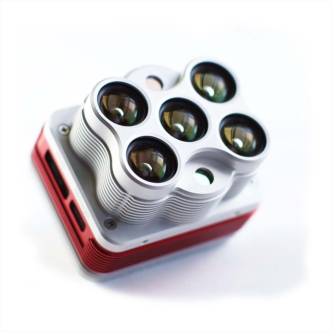
Multispectral Cameras
Altum Radiometric thermal camera with five high-resolution narrow bands, producing advanced thermal, multispectral and high-resolution imagery .


CASA Licensed & Fully Insured.
Public safety is our most important priority. All our operators are highly trained and fully licenced and insured.
